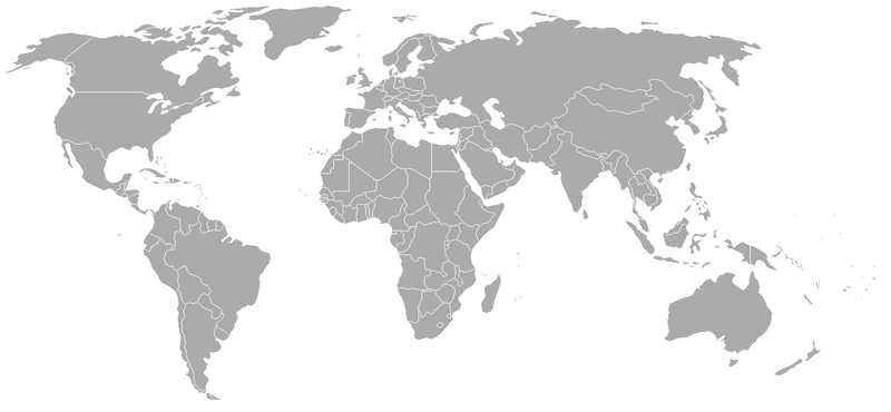
Fichier:BlankMap-World-1970.png

Taille de cet aperçu : 800 × 370 pixels. Autres résolutions : 320 × 148 pixels | 640 × 296 pixels | 1 357 × 628 pixels.
Fichier d’origine (1 357 × 628 pixels, taille du fichier : 48 kio, type MIME : image/png)
Historique du fichier
Cliquer sur une date et heure pour voir le fichier tel qu'il était à ce moment-là.
| Date et heure | Vignette | Dimensions | Utilisateur | Commentaire | |
|---|---|---|---|---|---|
| actuel | 24 septembre 2007 à 03:50 |  | 1 357 × 628 (48 kio) | Hoshie | put the (N/S) Yemen boundary in white due to the fact the boundaries in southern Saudi Arabia have been disputed, undemarcated, or undisclosed over the years. |
| 6 août 2007 à 02:22 |  | 1 357 × 628 (48 kio) | Hoshie | added Cabinda, under same lic. as orginal. | |
| 29 janvier 2007 à 03:59 |  | 1 357 × 628 (48 kio) | Hoshie | added the Canal Zone | |
| 28 janvier 2007 à 11:29 |  | 1 357 × 628 (48 kio) | Hoshie | Saudi Arabia-Yemen boundry did not exist during this time. | |
| 5 janvier 2007 à 10:02 |  | 1 357 × 628 (48 kio) | Roke~commonswiki | Blank map of the world in 1970. Differences with 1985 map include: Portugese Timor separate from Indonesia, Sikkim independent from India, North and South Vietnam separate, Walvis Bay not part of South Africa. [[Categor |
Utilisation du fichier
La page suivante utilise ce fichier :
Usage global du fichier
Les autres wikis suivants utilisent ce fichier :
- Utilisation sur ca.wiki.x.io
- Utilisation sur de.wiki.x.io
- Utilisation sur es.wiki.x.io
- Utilisation sur nl.wiki.x.io
- Utilisation sur zh.wiki.x.io

