Sonnighorn
montagne italo-suisse
Le Sonnighorn ou Pizzo Bottarello est un sommet des Alpes valaisannes, à la frontière entre l'Italie et la Suisse. Il culmine à 3 487 ou 3 488 mètres d'altitude.
| Sonnighorn Pizzo Bottarello | |||||
 Vue du Sonnighorn, à gauche, depuis le sentier menant au Zwischbergenpass à Saas-Almagell. | |||||
| Géographie | |||||
|---|---|---|---|---|---|
| Altitude | 3 487 ou 3 488 m[1],[2],[3] | ||||
| Massif | Alpes pennines (Alpes) | ||||
| Coordonnées | 46° 04′ 27″ nord, 8° 01′ 21″ est[1],[3],[2] | ||||
| Administration | |||||
| Pays | |||||
| Canton Région |
Valais Piémont |
||||
| District Province |
Viège Verbano-Cusio-Ossola |
||||
| Ascension | |||||
| Première | 1879, par Alexandre Burgener | ||||
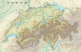
| Géolocalisation sur la carte : Suisse
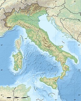
Géolocalisation sur la carte : Italie
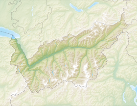
Géolocalisation sur la carte : canton du Valais
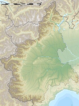
Géolocalisation sur la carte : Piémont
| |||||
| modifier |
|||||
Géographie
modifierLe Sonnighorn se situe au fond du Saastal (bassin du Rhône) et au fond de la vallée d'Antrona (bassin du Pô).
Notes et références
modifier- Visualisation sur Swisstopo.
- Visualisation sur le géoportail italien.
- Visualisation sur le géoportail du Piémont.


