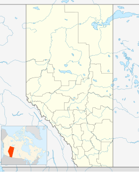
Pincher Creek No 9
district municipal d'Alberta
Le district municipal de Pincher Creek No 9 (anglais : Pincher Creek No. 9) est un district municipal de 3,158 habitants en 2011[1], situé dans la province d'Alberta, au Canada.
| Pincher Creek No 9 | ||
| Administration | ||
|---|---|---|
| Pays | ||
| Province | ||
| Région | Alberta du Sud | |
| Subdivision régionale | Division No 3 (Alberta) | |
| Statut municipal | district municipal | |
| Maire | Brian Hammond | |
| Constitution | 1945 | |
| Démographie | ||
| Population | 3 158 hab.[1] (2011) | |
| Densité | 0,91 hab./km2 | |
| Code géographique | 4803011 | |
| Géographie | ||
| Coordonnées | 49° 29′ 08″ nord, 113° 56′ 54″ ouest | |
| Superficie | 348 091 ha = 3 480,91 km2 | |
| Divers | ||
| Fuseau horaire | UTC-7 | |
| Localisation | ||
| Géolocalisation sur la carte : Alberta
| ||
| Liens | ||
| Site web | http://www.mdpinchercreek.ab.ca/ | |
| modifier |
||
Communautés et localités
modifier- Villages
- Hameaux
- Localités
- Burmis
- Chapel Rock
- Drywood
- Improvement District No. 40
- Maycroft
- North Fork
- Pecten
- Springridge
- Summerview
- Tod Creek
Démographie
modifier
Sites
modifierRéférences
modifier- (en) Cet article est partiellement ou en totalité issu de l’article de Wikipédia en anglais intitulé « Pincher Creek No. 9, Alberta » (voir la liste des auteurs).
- « Profils des communautés de 2011 », Chiffres de population et des logements, Canada, provinces et territoires, et subdivisions de recensement (municipalités), recensements de 2011 et 2006, sur Statistique Canada (consulté le )
- « Statistique Canada - Profils des communautés de 2016 - Pincher Creek No. 9 » (consulté le )
Annexes
modifierArticles connexes
modifierLiens externes
modifier- (en) Site officiel
