Fichier:Yugoslavia (1939–41) location map.svg

Fichier d’origine (Fichier SVG, nominalement de 1 220 × 1 057 pixels, taille : 407 kio)
Ce fichier et sa description proviennent de Wikimedia Commons.
Description
| Description |
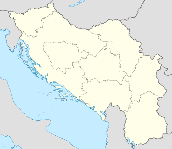
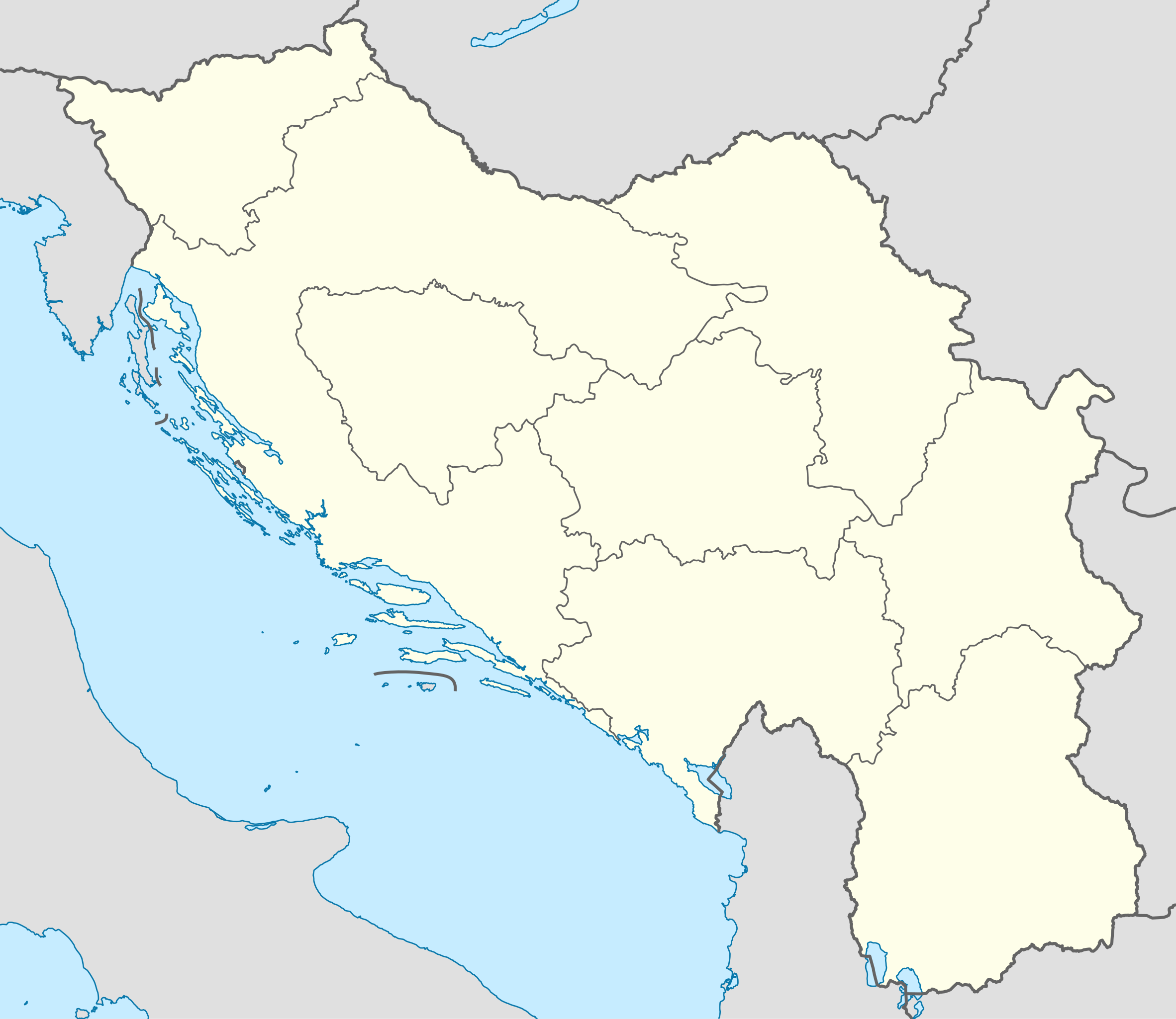
Deutsch: Positionskarte von Jugoslawien (1939–1941)
Quadratische Plattkarte, N-S-Streckung 139 %. Geographische Begrenzung der Karte:
English: Location map of Yugoslavia (1939–1941)
Equirectangular projection, N/S stretching 139 %. Geographic limits of the map:
|
| Date | |
| Source | Travail personnel |
| Auteur | NordNordWest |
| Autres versions |
|
_location_map.svg)
_location_map.svg)
_location_map.svg?uselang=fr)

|
Cette carte a été créée ou améliorée dans le Kartenwerkstatt (Atelier cartographique allemand). Vous pouvez également y proposer des cartes à améliorer.
|
Conditions d’utilisation
Usage de cette carte :
_location_map.svg)
Pour un usage gratuit, je recommande de respecter les conditions suivantes de la licence :
1. Inclure mon nom comme indiqué ci-dessus : NordNordWest,
2. une copie ou l'adresse Internet (Identifiant Uniforme de Ressource) du contrat : https://creativecommons.org/licenses/by-sa/3.0/de/legalcode,
3. le titre de l’œuvre originale,
4. dans le cas d'une œuvre dérivée, indiquer les éléments identifiant l'utilisation de l’œuvre dite dérivée.
En cas de manquement aux conditions de la licence, les droits d'utilisation expirent automatiquement. Si vous avez des questions ou désirez des conditions différentes, merci de me contacter par courriel à l'adresse nnwest, ou sur ma page de discussion.
![]() t-online.de
t-online.de
- Vous êtes libre :
- de partager – de copier, distribuer et transmettre cette œuvre
- d’adapter – de modifier cette œuvre
- Sous les conditions suivantes :
- paternité – Vous devez donner les informations appropriées concernant l'auteur, fournir un lien vers la licence et indiquer si des modifications ont été faites. Vous pouvez faire cela par tout moyen raisonnable, mais en aucune façon suggérant que l’auteur vous soutient ou approuve l’utilisation que vous en faites.
- partage à l’identique – Si vous modifiez, transformez ou vous basez sur cet élément, vous devez distribuer votre contribution sous une license identique ou compatible à celle de l’original.

Historique du fichier
Cliquer sur une date et heure pour voir le fichier tel qu'il était à ce moment-là.
| Date et heure | Vignette | Dimensions | Utilisateur | Commentaire | |
|---|---|---|---|---|---|
| actuel | 8 août 2013 à 16:17 | | 1 220 × 1 057 (407 kio) | NordNordWest | c |
| 6 août 2013 à 19:23 |  | 1 220 × 1 057 (407 kio) | NordNordWest | c | |
| 31 juillet 2013 à 11:54 |  | 1 220 × 1 057 (403 kio) | NordNordWest | c | |
| 31 juillet 2013 à 11:53 |  | 1 220 × 1 057 (411 kio) | NordNordWest | == {{int:filedesc}} == {{Information |Description= {{de|Positionskarte von Jugoslawien (1939–1941)}} Quadratische Plattkarte, N-S-Streckung 139 %. Geographische Begrenzung der Karte: * N: 47.0° N * S: 40.7° N * W: 13.2° O * O... |
Utilisation du fichier
La page suivante utilise ce fichier :
Usage global du fichier
Les autres wikis suivants utilisent ce fichier :
- Utilisation sur als.wiki.x.io
- Utilisation sur ar.wiki.x.io
- Utilisation sur ceb.wiki.x.io
- Utilisation sur de.wiki.x.io
- Utilisation sur en.wiki.x.io
- 1st Army (Kingdom of Yugoslavia)
- 1930 Yugoslav Football Championship
- 1930–31 Yugoslav Football Championship
- 1932–33 Yugoslav Football Championship
- 1935 Yugoslav Football Championship
- 1936–37 Yugoslav Football Championship
- 1938–39 Yugoslav Football Championship
- Royal Yugoslav Navy
- 1940 Summer Olympics torch relay
- 1st Army Group (Kingdom of Yugoslavia)
- 2nd Army Group (Kingdom of Yugoslavia)
- 2nd Army (Kingdom of Yugoslavia)
- 4th Army (Kingdom of Yugoslavia)
- 7th Army (Kingdom of Yugoslavia)
- Coastal Defence Command (Kingdom of Yugoslavia)
- Module:Location map/data/Yugoslavia (1939-41)/doc
- Milorad Petrović
- 42nd Infantry Division Murska
- 40th Infantry Division Slavonska
- 27th Infantry Division Savska
- 32nd Infantry Division Triglavski
- 1st Cavalry Division (Kingdom of Yugoslavia)
- Hawker Hurricane in Yugoslav service
- Module:Location map/data/Yugoslavia (1939-41)
- 38th Infantry Division Dravska
- Wikipedia talk:Featured article candidates/Milorad Petrović/archive1
- Wikipedia:Graphics Lab/Map workshop/Archive/Apr 2020
- Utilisation sur es.wiki.x.io
- Utilisation sur fa.wiki.x.io
- Utilisation sur hr.wiki.x.io
- Utilisation sur it.wiki.x.io
- Utilisation sur ka.wiki.x.io
- Utilisation sur pl.wiki.x.io
Voir davantage sur l’utilisation globale de ce fichier.
_location_map.svg)
_location_map.svg)