Fichier:US map-East Coast.svg

Taille de cet aperçu PNG pour ce fichier SVG : 800 × 495 pixels. Autres résolutions : 320 × 198 pixels | 640 × 396 pixels | 1 024 × 633 pixels | 1 280 × 791 pixels | 2 560 × 1 583 pixels | 959 × 593 pixels.
Fichier d’origine (Fichier SVG, nominalement de 959 × 593 pixels, taille : 90 kio)
Ce fichier et sa description proviennent de Wikimedia Commons.
Description
| Description |
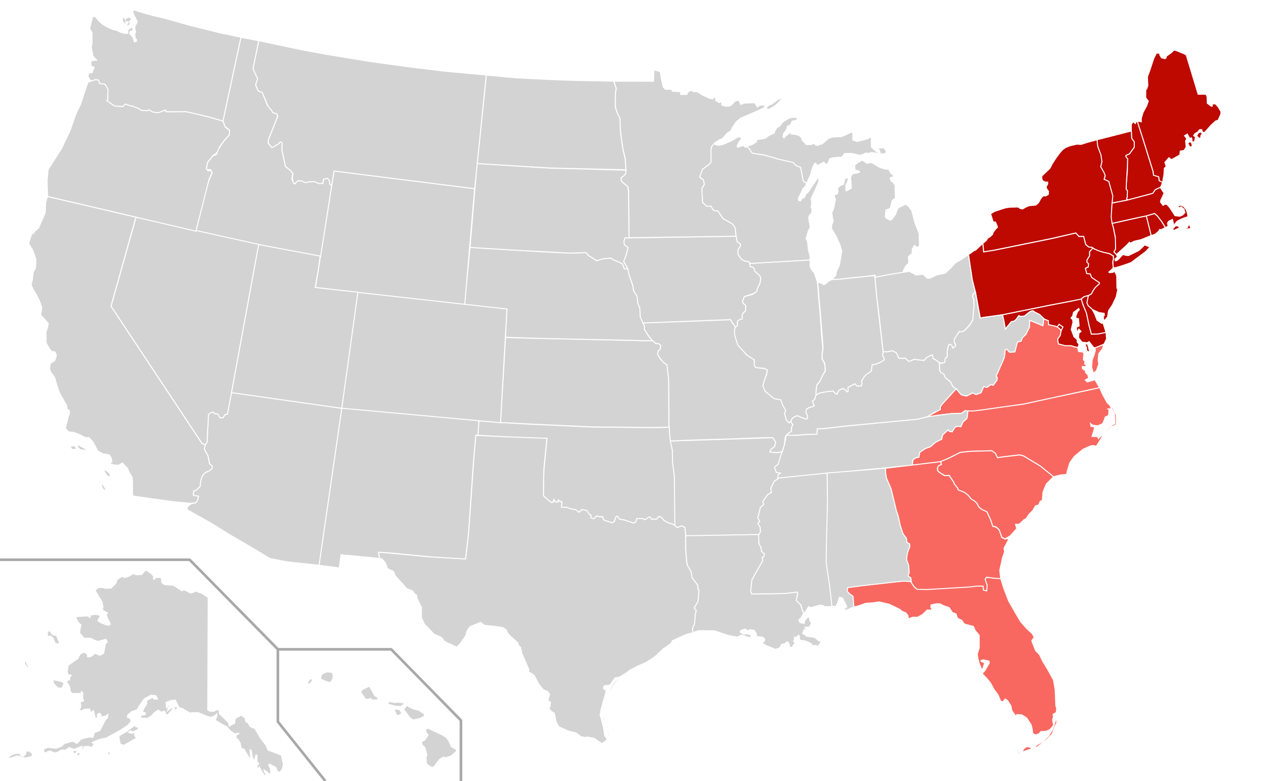
English: Map depicting the East Coast of the United States.
|
| Date | |
| Source |
Ce fichier est dérivé de : |
| Auteur | User:Derfel73; User:Theshibboleth |
Conditions d’utilisation
Ce fichier est disponible selon les termes de la licence Creative Commons Attribution – Partage dans les Mêmes Conditions 3.0 (non transposée).
- Vous êtes libre :
- de partager – de copier, distribuer et transmettre cette œuvre
- d’adapter – de modifier cette œuvre
- Sous les conditions suivantes :
- paternité – Vous devez donner les informations appropriées concernant l'auteur, fournir un lien vers la licence et indiquer si des modifications ont été faites. Vous pouvez faire cela par tout moyen raisonnable, mais en aucune façon suggérant que l’auteur vous soutient ou approuve l’utilisation que vous en faites.
- partage à l’identique – Si vous modifiez, transformez, ou vous basez sur cette œuvre, vous devez distribuer votre contribution sous la même licence ou une licence compatible avec celle de l’original.
en:East Coast of the United States
Historique du fichier
Cliquer sur une date et heure pour voir le fichier tel qu'il était à ce moment-là.
| Date et heure | Vignette | Dimensions | Utilisateur | Commentaire | |
|---|---|---|---|---|---|
| actuel | 11 avril 2012 à 02:09 | | 959 × 593 (90 kio) | Southronite | Reverted to version as of 14:37, 21 August 2011 Southern States not always considered eastern seaboard. |
| 11 avril 2012 à 02:09 |  | 959 × 593 (90 kio) | Southronite | Reverted to version as of 14:37, 21 August 2011 | |
| 26 août 2011 à 03:15 |  | 959 × 593 (140 kio) | Swarm | Simplify map: The division between North and South is completely unnecessary. | |
| 21 août 2011 à 16:37 |  | 959 × 593 (90 kio) | Derfel73 | {{Information |Description ={{en|1=The East coast region of the United States; {{legend|#bd0900|East coast sates}} {{legend|#f86860|East coast states also considered part of the South}}}} |Source ={{Derived from|B |
Utilisation du fichier
La page suivante utilise ce fichier :
Usage global du fichier
Les autres wikis suivants utilisent ce fichier :
- Utilisation sur en.wiki.x.io
- Utilisation sur et.wiki.x.io
- Utilisation sur fr.wiktionary.org
- Utilisation sur he.wiki.x.io
- Utilisation sur it.wiki.x.io
- Utilisation sur nl.wiki.x.io
- Utilisation sur th.wiki.x.io
- Utilisation sur tr.wiki.x.io