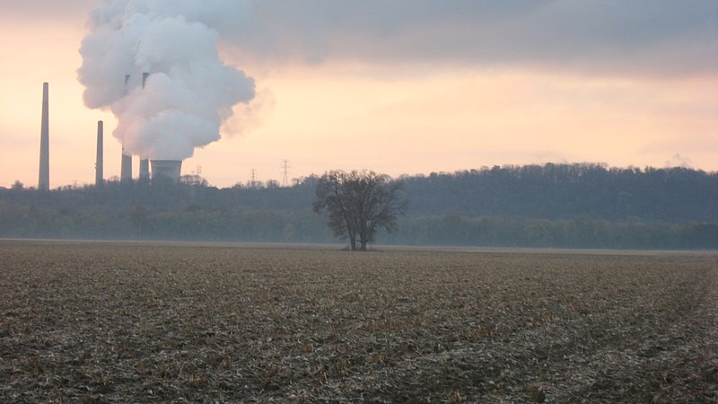
Fichier:State Line Archeological District.jpg

Taille de cet aperçu : 800 × 450 pixels. Autres résolutions : 320 × 180 pixels | 640 × 360 pixels | 1 024 × 576 pixels | 1 280 × 720 pixels | 2 816 × 1 584 pixels.
Fichier d’origine (2 816 × 1 584 pixels, taille du fichier : 868 kio, type MIME : image/jpeg)
Historique du fichier
Cliquer sur une date et heure pour voir le fichier tel qu'il était à ce moment-là.
| Date et heure | Vignette | Dimensions | Utilisateur | Commentaire | |
|---|---|---|---|---|---|
| actuel | 8 novembre 2010 à 08:52 |  | 2 816 × 1 584 (868 kio) | Nyttend | {{Location|39|8|40.5|N|84|48|48|W}} {{Information |Description={{en|Fields on the line between {{w|Lawrenceburg Township, Dearborn County, Indiana|Lawrenceburg Township}}, {{w|Dearborn County, Indiana|Dearborn County}}, {{w|Indiana}} and {{w|Whitewater To |
Utilisation du fichier
La page suivante utilise ce fichier :
Usage global du fichier
Les autres wikis suivants utilisent ce fichier :
- Utilisation sur en.wiki.x.io
- Utilisation sur www.wikidata.org