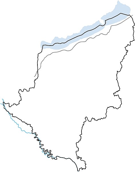
Fichier:Somogy location map.jpg

Taille de cet aperçu : 472 × 600 pixels. Autres résolutions : 189 × 240 pixels | 378 × 480 pixels | 604 × 768 pixels | 806 × 1 024 pixels | 1 612 × 2 048 pixels | 3 143 × 3 993 pixels.
Fichier d’origine (3 143 × 3 993 pixels, taille du fichier : 361 kio, type MIME : image/jpeg)
Historique du fichier
Cliquer sur une date et heure pour voir le fichier tel qu'il était à ce moment-là.
| Date et heure | Vignette | Dimensions | Utilisateur | Commentaire | |
|---|---|---|---|---|---|
| actuel | 3 février 2010 à 08:46 |  | 3 143 × 3 993 (361 kio) | Texaner | {{Information |Description={{en|1=Location map of Somogy county in Hungary}} {{hu|1=Somogy megye vaktérképe}} |Source={{own}} |Author=Texaner |Date=2010-02-03 |Permission= |other_versions= }} Category:Locator maps of Hungary |
Utilisation du fichier
La page suivante utilise ce fichier :
Usage global du fichier
Les autres wikis suivants utilisent ce fichier :
- Utilisation sur en.wiki.x.io
- Utilisation sur eo.wiki.x.io
- Utilisation sur hu.wiki.x.io
- Kaposvár
- Somogy vármegye
- Zala (település)
- Siófok
- Segesd (Magyarország)
- Balatonföldvári kistérség
- Karád
- Zics
- Osztopán
- Tab
- Balatonlelle
- Ádánd
- Alsóbogát
- Andocs
- Babócsa
- Bábonymegyer
- Bakháza
- Balatonberény
- Balatonboglár
- Balatonendréd
- Balatonfenyves
- Balatonföldvár
- Balatonkeresztúr
- Balatonmáriafürdő
- Balatonőszöd
- Balatonszabadi
- Balatonszárszó
- Balatonszemes
- Balatonszentgyörgy
- Balatonújlak
- Balatonvilágos
- Bálványos
- Barcs
- Bárdudvarnok
- Baté
- Bedegkér
- Büssü
- Bélavár
- Beleg
- Csurgó (Magyarország)
- Fonyód
Voir davantage sur l’utilisation globale de ce fichier.
