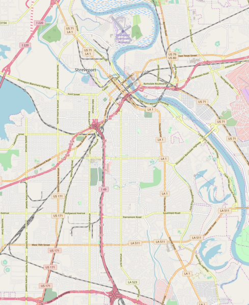
Fichier:Shreveport, Louisiana.png

Taille de cet aperçu : 489 × 599 pixels. Autres résolutions : 196 × 240 pixels | 392 × 480 pixels | 859 × 1 052 pixels.
Fichier d’origine (859 × 1 052 pixels, taille du fichier : 812 kio, type MIME : image/png)
Historique du fichier
Cliquer sur une date et heure pour voir le fichier tel qu'il était à ce moment-là.
| Date et heure | Vignette | Dimensions | Utilisateur | Commentaire | |
|---|---|---|---|---|---|
| actuel | 10 avril 2018 à 17:02 |  | 859 × 1 052 (812 kio) | ProprioMe OW | {{Information |description ={{en|1=Map of Shreveport}} |source =OpenStreetMap |author =OpenStreetMap contributors |date =2018-04-10 }} |
Utilisation du fichier
La page suivante utilise ce fichier :
Usage global du fichier
Les autres wikis suivants utilisent ce fichier :
- Utilisation sur en.wiki.x.io
- C. E. Byrd High School
- Booker T. Washington High School (Shreveport, Louisiana)
- A. C. Steere Elementary School
- Fair Park Middle School
- Huey P. Long House (Forest Ave., Shreveport, Louisiana)
- Huey P. Long House (Laurel St., Shreveport, Louisiana)
- Masonic Temple (Shreveport, Louisiana)
- Kings Highway Christian Church
- Module:Location map/data/USA Louisiana Shreveport
- Module:Location map/data/USA Louisiana Shreveport/doc
- Module:Location map/data/Shreveport
- Utilisation sur si.wiki.x.io
