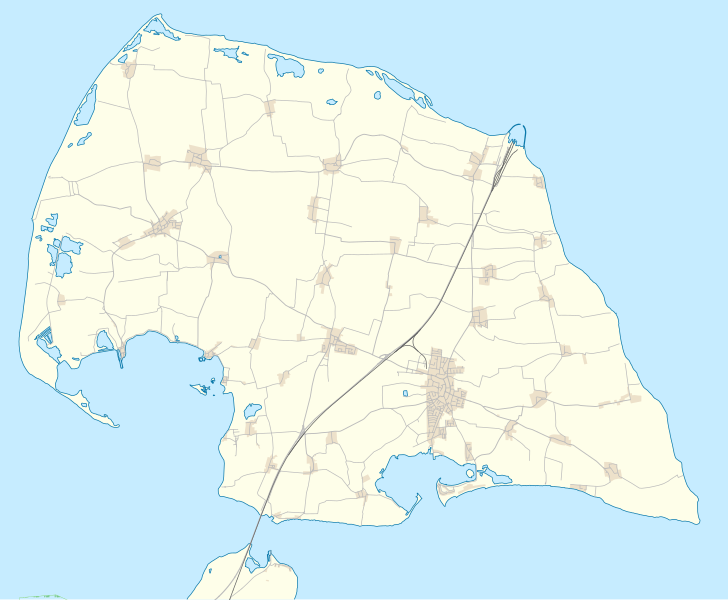
Fichier:Schleswig-Holstein Fehmarn location map.svg

Taille de cet aperçu PNG pour ce fichier SVG : 728 × 599 pixels. Autres résolutions : 292 × 240 pixels | 583 × 480 pixels | 933 × 768 pixels | 1 244 × 1 024 pixels | 2 487 × 2 048 pixels | 1 455 × 1 198 pixels.
Fichier d’origine (Fichier SVG, nominalement de 1 455 × 1 198 pixels, taille : 388 kio)
Historique du fichier
Cliquer sur une date et heure pour voir le fichier tel qu'il était à ce moment-là.
| Date et heure | Vignette | Dimensions | Utilisateur | Commentaire | |
|---|---|---|---|---|---|
| actuel | 26 août 2013 à 20:20 |  | 1 455 × 1 198 (388 kio) | NordNordWest | == {{int:filedesc}} == {{OpenStreetMap |name = Fehmarn |location = Fehmarn |description = {{de|Positionskarte von Fehmarn, Schleswig-Holstein, Deutschland}}{{en|Location map of ... |
Utilisation du fichier
La page suivante utilise ce fichier :
Usage global du fichier
Les autres wikis suivants utilisent ce fichier :
- Utilisation sur de.wiki.x.io
- Vadersdorf
- Burg auf Fehmarn
- Lemkenhafen
- Petersdorf auf Fehmarn
- Bojendorf auf Fehmarn
- Landkirchen auf Fehmarn
- Niendorf auf Fehmarn
- Bisdorf auf Fehmarn
- Klausdorf (Fehmarn)
- Gammendorf
- Leuchtturm Flügge
- Warder (Insel)
- Puttgarden
- Wenkendorf
- Katharinenhof (Fehmarn)
- Avendorf auf Fehmarn
- Staberdorf
- Teschendorf (Fehmarn)
- Wulfen (Fehmarn)
- Wikipedia:Kartenwerkstatt/Positionskarten/Europa
- Burg Glambek
- Albertsdorf (Fehmarn)
- Großsteingrab Albertsdorf
- Dänschendorf auf Fehmarn
- Leuchtturm Marienleuchte
- Leuchtturm Staberhuk
- Burger Binnensee
- Leuchtturm Westermarkelsdorf
- Orth (Fehmarn)
- Strukkamp
- Marienleuchte
- Vorlage:Positionskarte Deutschland Schleswig-Holstein Fehmarn
- Ganggrab von Staberdorf
- Fehmarnsundtunnel
- Benutzer:Kpfiwa/Vorlage/Test2

