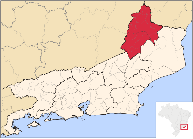
Fichier:RiodeJaneiro Meso NoroesteFluminense.svg

Taille de cet aperçu PNG pour ce fichier SVG : 800 × 576 pixels. Autres résolutions : 320 × 230 pixels | 640 × 461 pixels | 1 024 × 737 pixels | 1 280 × 921 pixels | 2 560 × 1 843 pixels | 960 × 691 pixels.
Fichier d’origine (Fichier SVG, nominalement de 960 × 691 pixels, taille : 349 kio)
Historique du fichier
Cliquer sur une date et heure pour voir le fichier tel qu'il était à ce moment-là.
| Date et heure | Vignette | Dimensions | Utilisateur | Commentaire | |
|---|---|---|---|---|---|
| actuel | 5 juin 2006 à 22:16 |  | 960 × 691 (349 kio) | Raphael.lorenzeto | |
| 21 avril 2006 à 12:56 |  | 1 006 × 684 (769 kio) | Raphael.lorenzeto | {{Information| |Description=Map locator of Rio de Janeiro's Noroeste Fluminense mesoregion |Source=own work |Date=April, 21 2006 |Author=Raphael Lorenzeto de Abreu |Permission={{self2|GFDL|cc-by-2.5}} |other_versions= }} [[Category:Maps of Rio de Janeiro] |
Utilisation du fichier
La page suivante utilise ce fichier :
Usage global du fichier
Les autres wikis suivants utilisent ce fichier :
- Utilisation sur es.wiki.x.io
- Utilisation sur hy.wiki.x.io
- Utilisation sur it.wiki.x.io
- Utilisation sur it.wikivoyage.org
- Utilisation sur nl.wiki.x.io
- Utilisation sur pt.wiki.x.io
- Utilisation sur ru.wiki.x.io
- Utilisation sur uk.wiki.x.io
- Utilisation sur www.wikidata.org
- Utilisation sur zh-min-nan.wiki.x.io

