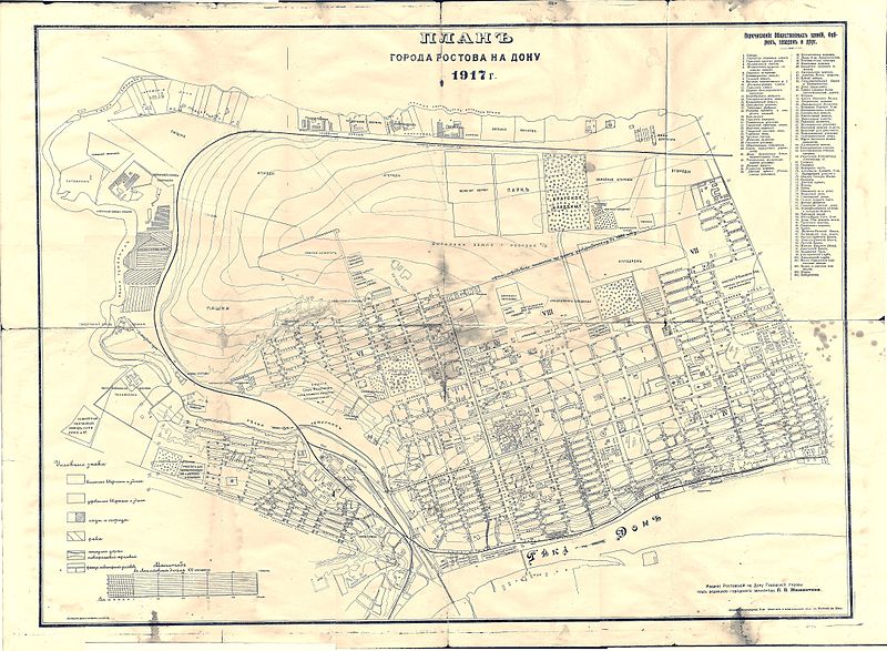
Fichier:Plan of Rostov-on-Don 1917.jpg

Taille de cet aperçu : 800 × 587 pixels. Autres résolutions : 320 × 235 pixels | 640 × 470 pixels | 1 024 × 752 pixels | 1 280 × 940 pixels | 2 560 × 1 880 pixels | 8 669 × 6 366 pixels.
Fichier d’origine (8 669 × 6 366 pixels, taille du fichier : 30,6 Mio, type MIME : image/jpeg)
Historique du fichier
Cliquer sur une date et heure pour voir le fichier tel qu'il était à ce moment-là.
| Date et heure | Vignette | Dimensions | Utilisateur | Commentaire | |
|---|---|---|---|---|---|
| actuel | 26 avril 2014 à 02:41 |  | 8 669 × 6 366 (30,6 Mio) | Gerodian | Картинка с более лучшим разрешением. |
| 2 février 2009 à 16:14 |  | 4 323 × 3 183 (3,33 Mio) | JukoFF | ==En== Plan of Rostov-on-Don. 1917 ==Fr== Carte de Rostov-sur-le-Don. 1917 == Licensing == {{PD-old}} Category:1917 Category:Maps showing 20th-century history |
Utilisation du fichier
La page suivante utilise ce fichier :
Usage global du fichier
Les autres wikis suivants utilisent ce fichier :
- Utilisation sur alt.wiki.x.io
- Utilisation sur azb.wiki.x.io
- Utilisation sur it.wiki.x.io
- Utilisation sur ru.wiki.x.io
- Utilisation sur uk.wiki.x.io