Fichier:Norfolk UK relief location map.jpg

Taille de cet aperçu : 800 × 497 pixels. Autres résolutions : 320 × 199 pixels | 640 × 398 pixels | 1 024 × 636 pixels | 1 280 × 795 pixels | 1 999 × 1 242 pixels.
Fichier d’origine (1 999 × 1 242 pixels, taille du fichier : 229 kio, type MIME : image/jpeg)
Ce fichier et sa description proviennent de Wikimedia Commons.
| Description |
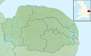
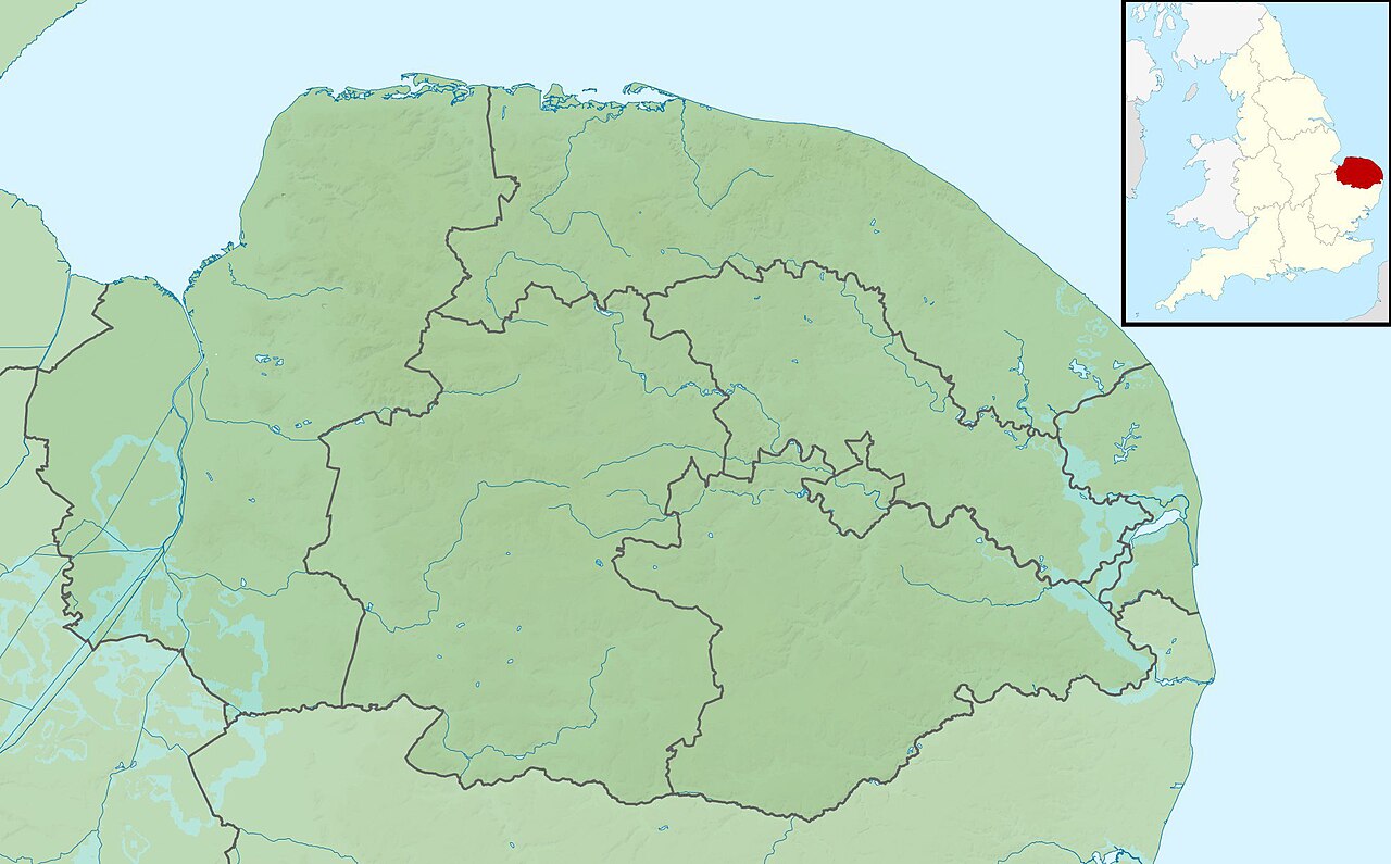
Relief map of Norfolk, UK. Equirectangular map projection on WGS 84 datum, with N/S stretched 160% Geographic limits:
|
| Date | |
| Source |
|
| Auteur | Nilfanion, created using Ordnance Survey data |
| Autorisation (Réutilisation de ce fichier) |
Ce fichier est disponible selon les termes de la licence Creative Commons Attribution – Partage dans les Mêmes Conditions 3.0 (non transposée). Attribution: Contains Ordnance Survey data © Crown copyright and database right
|
| Autres versions | File:Norfolk UK district map (blank).svg - Blank map |
.svg)
Historique du fichier
Cliquer sur une date et heure pour voir le fichier tel qu'il était à ce moment-là.
| Date et heure | Vignette | Dimensions | Utilisateur | Commentaire | |
|---|---|---|---|---|---|
| actuel | 29 novembre 2011 à 03:46 | | 1 999 × 1 242 (229 kio) | Nilfanion | {{Information |Description=Relief map of Norfolk, UK. Equirectangular map projection on WGS 84 datum, with N/S stretched 160% Geographic limits: *West: 0.12E *East: 2.00E *North: 53.05N *South: 52.32N |Source=[[w:Ordnance Survey|Ordnance S |
Utilisation du fichier
Les 9 pages suivantes utilisent ce fichier :
Usage global du fichier
Les autres wikis suivants utilisent ce fichier :
- Utilisation sur ar.wiki.x.io
- Utilisation sur bg.wiki.x.io
- Utilisation sur ceb.wiki.x.io
- Utilisation sur cs.wiki.x.io
- Utilisation sur en.wiki.x.io
- Malthouse Broad
- Hoveton Great Broad
- Crome's Broad
- Salhouse Broad
- Holkham National Nature Reserve
- River Ant
- River Yare
- River Thurne
- River Chet
- River Wensum
- Titchwell Marsh
- Sandringham House
- River Burn, Norfolk
- Filby Broad
- Beacon Hill, Norfolk
- River Stiffkey
- River Tas
- Blakeney Point
- Horsey Mere
- River Glaven
- Heacham River
- Gaywood River
- River Tiffey
- River Thet
- Buxton Watermill
- River Tud
- River Cong (Norfolk)
- River Mun
- River Hun
- River Ingol
- Beeston Beck (Norfolk)
- River Tat
- River Ainse (or Eyn)
- Scarrow Beck
- River Hor
- Gur Beck
- Hagon Beck
- Panford Beck
- Penny Spot Beck
Voir davantage sur l’utilisation globale de ce fichier.