Fichier:Location Transnistria Europe.png

Taille de cet aperçu : 687 × 600 pixels. Autres résolutions : 275 × 240 pixels | 550 × 480 pixels | 880 × 768 pixels | 1 173 × 1 024 pixels | 2 052 × 1 792 pixels.
Fichier d’origine (2 052 × 1 792 pixels, taille du fichier : 419 kio, type MIME : image/png)
Ce fichier et sa description proviennent de Wikimedia Commons.
Description
| Description |
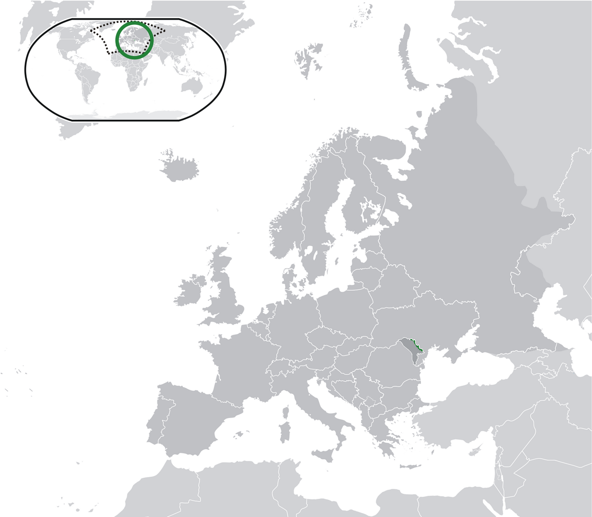
English: Location Moldova Europe.png
English: Transnistria (green) / Moldova (dark grey) / Europe and other regions (light grey); inspired by and consistent with general country locator maps by User:Vardion, et al |
| Date | |
| Source | Travail personnel |
| Auteur | CatJar |
Conditions d’utilisation
| Moi, propriétaire des droits d’auteur sur cette œuvre, la place dans le domaine public. Ceci s'applique dans le monde entier. Dans certains pays, ceci peut ne pas être possible ; dans ce cas : J’accorde à toute personne le droit d’utiliser cette œuvre dans n’importe quel but, sans aucune condition, sauf celles requises par la loi. |
Historique du fichier
Cliquer sur une date et heure pour voir le fichier tel qu'il était à ce moment-là.
| Date et heure | Vignette | Dimensions | Utilisateur | Commentaire | |
|---|---|---|---|---|---|
| actuel | 12 juillet 2020 à 01:57 | | 2 052 × 1 792 (419 kio) | De728631 | added South Sudan to World map |
| 25 décembre 2009 à 00:29 |  | 2 052 × 1 792 (353 kio) | CatJar | {{Information |Description={{en|1= Location Moldova Europe.png '''English:''' Transnistria (green) / Moldova (dark grey) / Europe and other regions (light grey); inspired by and consistent with general country locator maps by User:Vardion, et al}} |Source |
Utilisation du fichier
Les 2 pages suivantes utilisent ce fichier :
Usage global du fichier
Les autres wikis suivants utilisent ce fichier :
- Utilisation sur af.wiki.x.io
- Utilisation sur ar.wiki.x.io
- Utilisation sur be-tarask.wiki.x.io
- Utilisation sur crh.wiki.x.io
- Utilisation sur cs.wiki.x.io
- Utilisation sur el.wikivoyage.org
- Utilisation sur en.wiki.x.io
- Utilisation sur eo.wiki.x.io
- Utilisation sur incubator.wikimedia.org
- Utilisation sur lv.wiki.x.io
- Utilisation sur mg.wiki.x.io
- Utilisation sur ml.wiki.x.io
- Utilisation sur pt.wiki.x.io
- Utilisation sur vi.wiki.x.io
- Utilisation sur war.wiki.x.io
- Utilisation sur zh.wiki.x.io