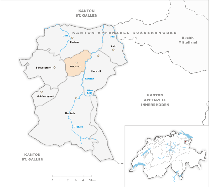
Fichier:Karte Gemeinde Waldstatt 2010.png

Taille de cet aperçu : 667 × 599 pixels. Autres résolutions : 267 × 240 pixels | 534 × 480 pixels | 855 × 768 pixels | 1 140 × 1 024 pixels | 1 476 × 1 326 pixels.
Fichier d’origine (1 476 × 1 326 pixels, taille du fichier : 422 kio, type MIME : image/png)
Historique du fichier
Cliquer sur une date et heure pour voir le fichier tel qu'il était à ce moment-là.
| Date et heure | Vignette | Dimensions | Utilisateur | Commentaire | |
|---|---|---|---|---|---|
| actuel | 4 août 2011 à 09:16 |  | 1 476 × 1 326 (422 kio) | Tschubby | {{Information |Description= |Source= |Date= |Author= |Permission= |other_versions= }} |
| 26 juillet 2010 à 08:32 |  | 1 181 × 1 062 (300 kio) | Tschubby | {{Information |Description= |Source= |Date= |Author= |Permission= |other_versions= }} | |
| 14 mai 2010 à 12:52 |  | 1 181 × 1 061 (299 kio) | Tschubby | {{Information |Description= |Source= |Date= |Author= |Permission= |other_versions= }} | |
| 14 mai 2010 à 09:52 |  | 1 181 × 1 061 (299 kio) | Tschubby | == {{int:filedesc}} == {{Information |Description={{en|1=Municipality Waldstatt}} {{de|1=Gemeinde Waldstatt}} |Source={{own}} |Author=Tschubby |Date=2010-05-14 |Permission= |other_versions= }} <!--{{ImageUpload|full}}--> [[Category:Maps |
Utilisation du fichier
La page suivante utilise ce fichier :
