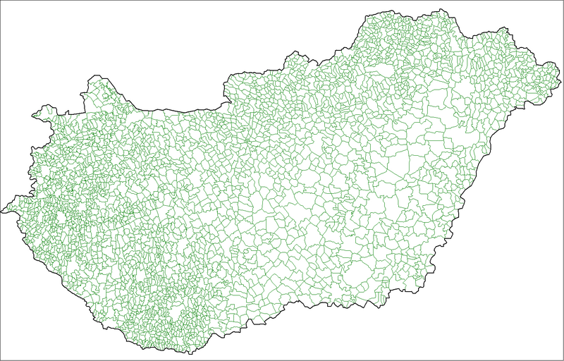
Fichier:Hungary local administration.png

Taille de cet aperçu : 800 × 512 pixels. Autres résolutions : 320 × 205 pixels | 640 × 410 pixels | 1 024 × 656 pixels | 1 280 × 819 pixels | 1 601 × 1 025 pixels.
Fichier d’origine (1 601 × 1 025 pixels, taille du fichier : 126 kio, type MIME : image/png)
Historique du fichier
Cliquer sur une date et heure pour voir le fichier tel qu'il était à ce moment-là.
| Date et heure | Vignette | Dimensions | Utilisateur | Commentaire | |
|---|---|---|---|---|---|
| actuel | 9 juillet 2007 à 18:32 |  | 1 601 × 1 025 (126 kio) | Rarelibra | Finished. |
| 30 juin 2007 à 01:16 |  | 1 025 × 614 (61 kio) | Rarelibra | more updated | |
| 30 juin 2007 à 00:57 |  | 1 025 × 614 (59 kio) | Rarelibra | ||
| 30 juin 2007 à 00:56 |  | 1 025 × 614 (59 kio) | Rarelibra | Updated - just a little more to go. | |
| 27 juin 2007 à 17:06 |  | 1 601 × 1 025 (94 kio) | Rarelibra | Map of the local administrative units of Hungary (városok, községek, and megyei jogú városok). Created by ~~~~ for public domain use, using MapInfo Professional v8.5 and various mapping resources. NOTE: Currently a work-in-progress, will be finishin |
Utilisation du fichier
Les 3 pages suivantes utilisent ce fichier :
Usage global du fichier
Les autres wikis suivants utilisent ce fichier :
- Utilisation sur bjn.wiki.x.io
- Utilisation sur bn.wiki.x.io
- Utilisation sur ca.wiki.x.io
- Utilisation sur el.wiki.x.io
- Utilisation sur en.wiki.x.io
- Utilisation sur es.wiki.x.io
- Utilisation sur fa.wiki.x.io
- Utilisation sur id.wiki.x.io
- Utilisation sur it.wiki.x.io
- Utilisation sur ka.wiki.x.io
- Utilisation sur lez.wiki.x.io
- Utilisation sur mt.wiki.x.io
- Utilisation sur nl.wiki.x.io
- Utilisation sur nn.wiki.x.io
- Utilisation sur ro.wiki.x.io
- Utilisation sur sco.wiki.x.io
- Utilisation sur simple.wiki.x.io
- Utilisation sur sk.wiki.x.io
- Utilisation sur sl.wiki.x.io
- Utilisation sur sr.wiki.x.io
- Utilisation sur uk.wiki.x.io
- Utilisation sur xmf.wiki.x.io
- Utilisation sur zh.wiki.x.io