Fichier:France with Corsica (demis).png
Taille de cet aperçu : 599 × 600 pixels. Autres résolutions : 240 × 240 pixels | 479 × 480 pixels | 697 × 698 pixels.
Fichier d’origine (697 × 698 pixels, taille du fichier : 838 kio, type MIME : image/png)
Ce fichier et sa description proviennent de Wikimedia Commons.
.png?uselang=fr)
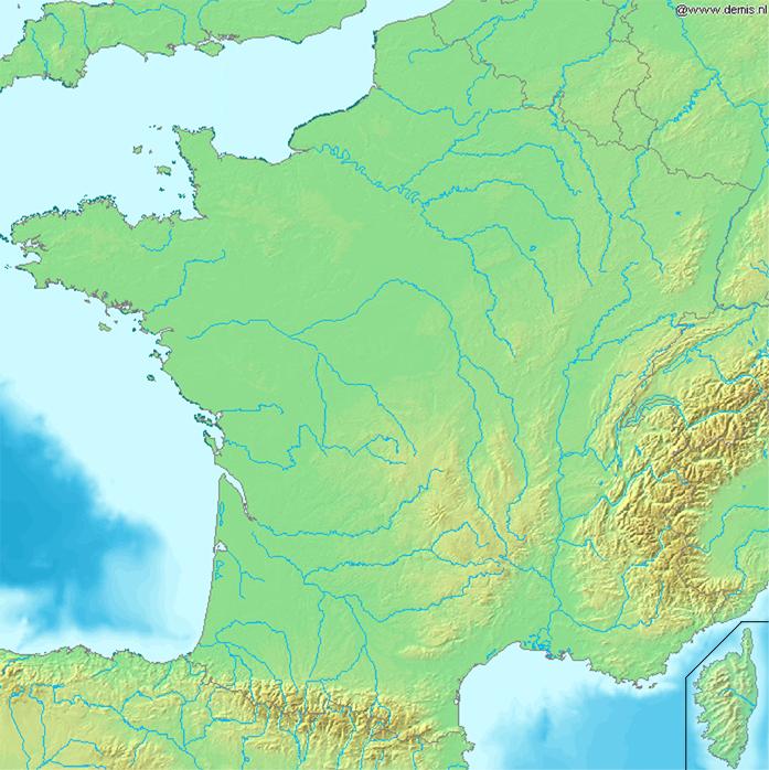
Map of France with Corsica. This version is with an indication that Corsica is not located at its real location but in this map because it's part of the country. Hope it won't be deleted again. The point is not to have an accurate position of the Corsica. It is to have a map to locate a city. When I was at school in France, there were very few maps with the Corsica at its GPS location.
This image is in the public domain because it came from the site https://www.demis.nl/products/web-map-server/examples/ and was released by the copyright holder. Permission is granted to copy, distribute and/or modify this map since it is based on free of copyright images from: www.demis.nl. See also approval email on de.wp and its clarification.
|
| This work has been released into the public domain by its copyright holder, www.demis.nl. This applies worldwide. Dans certains pays, ceci peut ne pas être possible ; dans ce cas : www.demis.nl accorde à toute personne le droit d’utiliser cette œuvre dans n’importe quel but, sans aucune condition, sauf celles requises par la loi.
|
Historique du fichier
Cliquer sur une date et heure pour voir le fichier tel qu'il était à ce moment-là.
| Date et heure | Vignette | Dimensions | Utilisateur | Commentaire | |
|---|---|---|---|---|---|
| actuel | 21 mars 2006 à 17:52 | | 697 × 698 (838 kio) | Frombenny~commonswiki | Map of France with Corsica. This version is with an indication that Corsica is not located at its real location but in this map because it's part of the country. Hope it won't be deleted again. The point is not to have an accurate position of the Corsica. |
| 21 mars 2006 à 17:38 |  | 697 × 698 (838 kio) | Frombenny~commonswiki | Map of France with Corsica. This version is with an indication that Corsica is not located at its real location but in this map because it's part of the country. Hope it won't be deleted again. The point is not to have an accurate position of the Corsica. |
Utilisation du fichier
La page suivante utilise ce fichier :
Usage global du fichier
Les autres wikis suivants utilisent ce fichier :
- Utilisation sur de.wiki.x.io
.png)