Fichier:Cardiff UK location map.svg

Taille de cet aperçu PNG pour ce fichier SVG : 562 × 599 pixels. Autres résolutions : 225 × 240 pixels | 450 × 480 pixels | 720 × 768 pixels | 960 × 1 024 pixels | 1 920 × 2 048 pixels | 1 187 × 1 266 pixels.
Fichier d’origine (Fichier SVG, nominalement de 1 187 × 1 266 pixels, taille : 464 kio)
Ce fichier et sa description proviennent de Wikimedia Commons.
| Description |
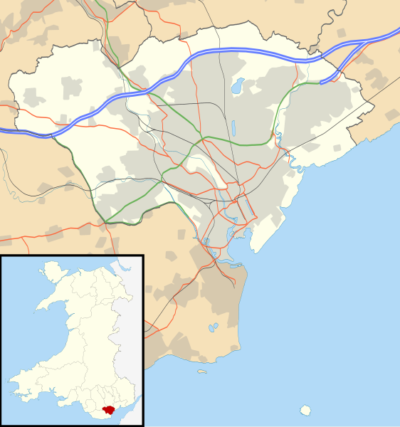
Blank map of Cardiff, UK with the following information shown:
Equirectangular map projection on WGS 84 datum, with N/S stretched 160% Geographic limits:
|
| Date | |
| Source |
|
| Auteur | Nilfanion, created using Ordnance Survey data |
| Autorisation (Réutilisation de ce fichier) |
Ce fichier est disponible selon les termes de la licence Creative Commons Attribution – Partage dans les Mêmes Conditions 3.0 (non transposée). Attribution: Contains Ordnance Survey data © Crown copyright and database right
|
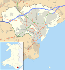
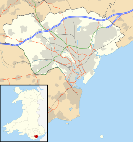
| Autres versions | File:Cardiff UK map.svg - Blank map |
Historique du fichier
Cliquer sur une date et heure pour voir le fichier tel qu'il était à ce moment-là.
| Date et heure | Vignette | Dimensions | Utilisateur | Commentaire | |
|---|---|---|---|---|---|
| actuel | 26 septembre 2010 à 21:29 | | 1 187 × 1 266 (464 kio) | Nilfanion | {{Information |Description=Blank map of Cardiff, UK with the following information shown: *Administrative borders *Coastline, lakes and rivers *Roads and railways *Urban areas Equirectangular map projection on WGS 84 datum, with N/S stretch |
Utilisation du fichier
Les 9 pages suivantes utilisent ce fichier :
Usage global du fichier
Les autres wikis suivants utilisent ce fichier :
- Utilisation sur ar.wiki.x.io
- Utilisation sur bh.wiki.x.io
- Utilisation sur bn.wiki.x.io
- Utilisation sur ceb.wiki.x.io
- Utilisation sur cy.wiki.x.io
- Utilisation sur da.wiki.x.io
- Utilisation sur el.wiki.x.io
- Utilisation sur en.wiki.x.io
- Cardiff
- Llandaff
- Llandaff Cathedral
- Cardiff Castle
- List of monastic houses in Wales
- Thornhill, Cardiff
- Cardiff Bay
- Castell Coch
- Gwaelod-y-Garth
- Rhiwbina
- Tremorfa
- Llanrumney
- Cathays
- St Fagans
- Lisvane
- Radyr
- Gabalfa
- Mynachdy
- Cyncoed
- St Mellons
- Michaelston-super-Ely
- Adamsdown
- Cardiff city centre
- Whitchurch, Cardiff
- St Fagans National Museum of History
- Pentyrch
- Ely, Cardiff
- Canton, Cardiff
- Birchgrove, Cardiff
- The Point, Cardiff
- Coal Exchange
- Tongwynlais
- University Hospital of Wales
- Rhydlafar
- Cardiff West services
- Rookwood Hospital
- Pontprennau
- Cardiff Gate services
- Caerau, Cardiff
- Cardiff Royal Infirmary
- Whitchurch Hospital
Voir davantage sur l’utilisation globale de ce fichier.