Fichier:Blank Map of Ain Department, France, with Communes.svg

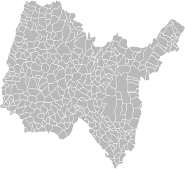
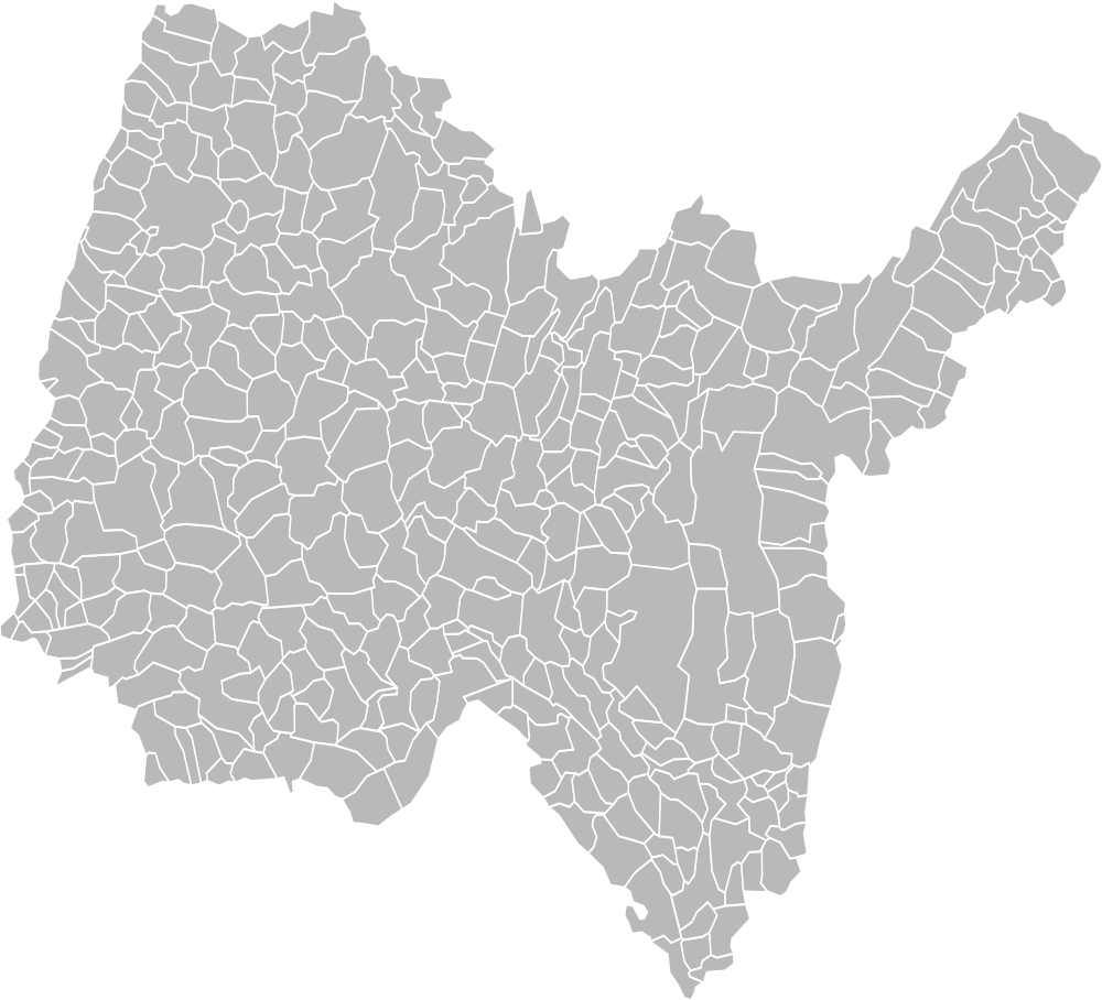
Taille de cet aperçu PNG pour ce fichier SVG : 660 × 599 pixels. Autres résolutions : 264 × 240 pixels | 529 × 480 pixels | 846 × 768 pixels | 1 128 × 1 024 pixels | 2 256 × 2 048 pixels | 1 000 × 908 pixels.
Fichier d’origine (Fichier SVG, nominalement de 1 000 × 908 pixels, taille : 155 kio)
Ce fichier et sa description proviennent de Wikimedia Commons.
Description
| Description |
English: Blank map of Ain department, France. Communes are outlined. Français : Carte vierge du département de l'Ain, France. Le découpage en commune est affiché. |
| Date | |
| Source | Travail personnel |
| Auteur | Poulpy |
| Autorisation (Réutilisation de ce fichier) |
Coordinates are taken from GEOFLA® Communes, a work of Institut géographique national, licensed under the Licence Ouverte. |
| Autres versions |
Œuvres dérivées de ce fichier : |
Conditions d’utilisation
Moi, en tant que détenteur des droits d’auteur sur cette œuvre, je la publie sous la licence suivante :
Ce fichier est disponible selon les termes de la licence Creative Commons Attribution – Partage dans les Mêmes Conditions 3.0 (non transposée).
- Vous êtes libre :
- de partager – de copier, distribuer et transmettre cette œuvre
- d’adapter – de modifier cette œuvre
- Sous les conditions suivantes :
- paternité – Vous devez donner les informations appropriées concernant l'auteur, fournir un lien vers la licence et indiquer si des modifications ont été faites. Vous pouvez faire cela par tout moyen raisonnable, mais en aucune façon suggérant que l’auteur vous soutient ou approuve l’utilisation que vous en faites.
- partage à l’identique – Si vous modifiez, transformez, ou vous basez sur cette œuvre, vous devez distribuer votre contribution sous la même licence ou une licence compatible avec celle de l’original.
Historique du fichier
Cliquer sur une date et heure pour voir le fichier tel qu'il était à ce moment-là.
| Date et heure | Vignette | Dimensions | Utilisateur | Commentaire | |
|---|---|---|---|---|---|
| actuel | 28 août 2023 à 11:15 | | 1 000 × 908 (155 kio) | Charpek | Update (new commune on 2023/1/1) |
| 11 janvier 2019 à 03:03 |  | 1 000 × 908 (155 kio) | Chabe01 | Mise à jour des communes pour le 2019/01/01 | |
| 2 février 2016 à 01:31 |  | 1 000 × 908 (158 kio) | Pymouss | Update (new communes on 2016/1/1) | |
| 25 avril 2012 à 22:07 |  | 1 000 × 908 (150 kio) | Poulpy | ||
| 24 avril 2012 à 02:58 |  | 512 × 465 (79 kio) | Poulpy | Minor corrections | |
| 23 avril 2012 à 20:59 |  | 1 000 × 1 000 (140 kio) | Poulpy |
Utilisation du fichier
Les 3 pages suivantes utilisent ce fichier :
Usage global du fichier
Les autres wikis suivants utilisent ce fichier :
- Utilisation sur ru.wiki.x.io