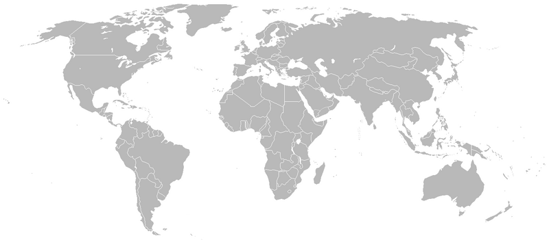
Fichier:BlankMap-World-1939.png

Taille de cet aperçu : 800 × 351 pixels. Autres résolutions : 320 × 140 pixels | 640 × 281 pixels | 1 425 × 625 pixels.
Fichier d’origine (1 425 × 625 pixels, taille du fichier : 48 kio, type MIME : image/png)
Historique du fichier
Cliquer sur une date et heure pour voir le fichier tel qu'il était à ce moment-là.
| Date et heure | Vignette | Dimensions | Utilisateur | Commentaire | |
|---|---|---|---|---|---|
| actuel | 26 avril 2020 à 02:21 |  | 1 425 × 625 (48 kio) | The- | Reverted to version as of 17:14, 19 March 2011 (UTC) |
| 11 octobre 2017 à 04:22 |  | 1 500 × 740 (101 kio) | Expertseeker90 | Major overhall. Correct time period of internal and international boundaries added or corrected. | |
| 19 mars 2011 à 18:14 |  | 1 425 × 625 (48 kio) | R-41~commonswiki | Adjusted Libyan border for the time period, it had a strip of present-day Chad at that time | |
| 1 juillet 2009 à 16:33 |  | 1 425 × 625 (48 kio) | Rülpsmann | +Border between Japan and USSR | |
| 1 novembre 2007 à 23:57 |  | 1 425 × 625 (30 kio) | R-41~commonswiki | {{Information |Description=Map of the world in late 1939. |Source=self-made |Date=November 1, 2007. |Author= R-41 }} |
Utilisation du fichier
La page suivante utilise ce fichier :
Usage global du fichier
Les autres wikis suivants utilisent ce fichier :
- Utilisation sur ca.wiki.x.io
- Utilisation sur nl.wiki.x.io

