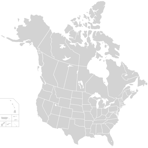
Fichier:BlankMap-USA-states-Canada-provinces, HI closer.svg

Taille de cet aperçu PNG pour ce fichier SVG : 512 × 512 pixels. Autres résolutions : 240 × 240 pixels | 480 × 480 pixels | 768 × 768 pixels | 1 024 × 1 024 pixels | 2 048 × 2 048 pixels.
Fichier d’origine (Fichier SVG, nominalement de 512 × 512 pixels, taille : 104 kio)
Historique du fichier
Cliquer sur une date et heure pour voir le fichier tel qu'il était à ce moment-là.
| Date et heure | Vignette | Dimensions | Utilisateur | Commentaire | |
|---|---|---|---|---|---|
| actuel | 23 novembre 2020 à 02:48 |  | 512 × 512 (104 kio) | Ponderosapine210 | Accidentally uploaded wrong version. Here is the correct one. |
| 23 novembre 2020 à 02:38 |  | 512 × 596 (132 kio) | Ponderosapine210 | Added the prominent islands of Manitoulin (Ontario) and Isle Royale (Michigan) to the Great Lakes. | |
| 1 juin 2019 à 23:59 |  | 512 × 512 (99 kio) | Fluffy89502 | added territories | |
| 8 décembre 2007 à 22:18 |  | 1 730 × 1 730 (212 kio) | Lokal Profil | Code trimming | |
| 3 juillet 2007 à 05:21 |  | 1 730 × 1 730 (213 kio) | Lokal Profil | {{Information |Description={{en|Blank SVG map of USA and Canada with state and province borders. Hawaii has been moved closer to the mainland USA to reduce width of image.}} Non-contiguous parts of a states/provinces are "grouped" together with the main a |
Utilisation du fichier
La page suivante utilise ce fichier :
Usage global du fichier
Les autres wikis suivants utilisent ce fichier :
- Utilisation sur en.wiki.x.io